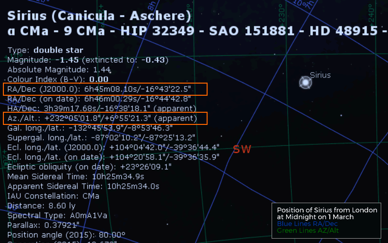
Horizontal Coordinate System - Altitude & Azimuth
6.9 - Understand the use of the horizon coordinate system (altitude and azimuth)6.10 - Understand how the observer’s latitude can be used to link the equatorial and horizon coordinates of an object for the observer’s meridian
These terms are based on the location of the observer at any given time. It is important to remember that over the course of long observing session the stars position will change.
Altitude
We can measure how high in the sky an object is from any location on the horizon in degrees from 0° at the horizon to 90° at the zenith. An observer can find their latitude by the angle to the Northern Celestial Pole (NCP) marked by the star Polaris.
Altitude of NCP = Latitude of Observer
Azimuth
We can also measure its direction along the horizon. We take north as 0° and travel eastward increasing the angle until we reach 360° north again. An observer can fairly easily use this system if they have a reasonable grasp of estimating angles and know how to find north.
See the Celestial Calculations page to understand locations and timings of observing objects.
Animation
Summary
Altitude
How high an object is above the horizon
Azimuth
How far an object is eastwards in degrees
Mix & Match
Questions
Explain the terms Altitude and Azimuth
Links
- Astronomy Notes Co-ordinates
- Time and Date Altitude & Azimuth: The Horizontal Coordinate System


 | © All Rights Reserved |